
Radiation Dispersion Maps and Information
The U.S. Nuclear Regulatory Commission (NRC) does not generate raw radiological data or dispersion maps. Instead, we collect and analyze data from all available sources in order to assess its implications, consistent with our mission to protect public health and safety.
In the event of a radiological emergency in the United States, radiological data would be measured primarily by the affected utility, the affected State(s), the U.S. Department of Energy (DOE), the U.S. Environmental Protection Agency (EPA), and U.S. Department of Defense (DOD) Civil Support Teams. The public release of this data, whether in raw or processed form, would be at the discretion of the entity that measures the data or entities responsible for releasing quality-controlled data products, such as the U.S. Department of Homeland Security (DHS).
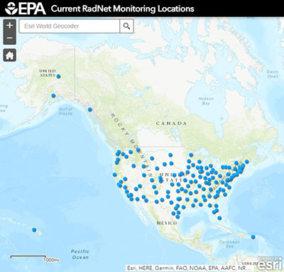 |
A particularly useful resource includes the EPA RadNet website. The RadNet system monitors the nation's air, precipitation and drinking water to track radiation in the environment, 24 hours a day, 7 days a week. RadNet sample analyses and monitoring results provide baseline data on background levels of radiation in the environment and can detect increased radiation from radiological incidents. The map above provides links to RadNet individual air monitoring location webpages. Data are shown as graphs and tables that are updated as new data becomes available. Searchable current and historical monitoring data are available. The U.S. Food and Drug Administration (FDA) has the authority for food safety, including monitoring radiation in milk.
Page Last Reviewed/Updated Thursday, April 06, 2023
Page Last Reviewed/Updated Thursday, April 06, 2023