
NRC Emergency Preparedness Maps
| Map | Description |
|---|---|
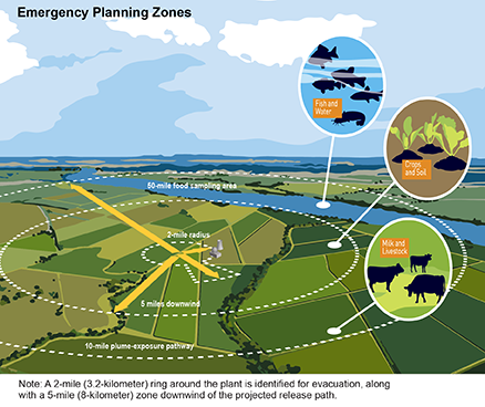 |
Emergency Planning Zones |
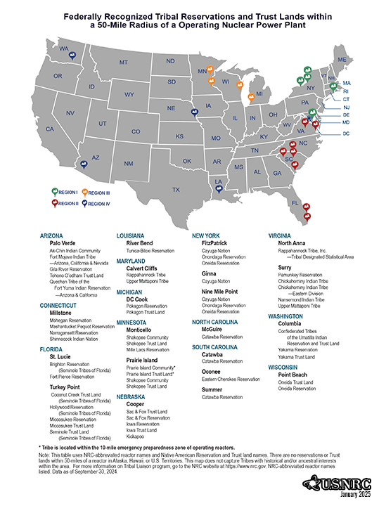 |
Native American Reservations and Trust Lands within a 50-Mile Radius of a Nuclear Power Plant (with list of sites) |
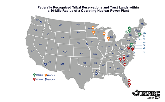 |
Native American Reservations and Trust Lands within a 50-Mile Radius of a Nuclear Power Plant (without list of sites) |
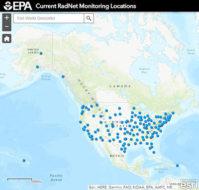 |
Radiation Dispersion Maps and Information |
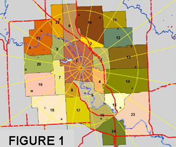 |
Typical 10-Mile Plume Exposure Pathway EPZ Map |
Page Last Reviewed/Updated Thursday, March 13, 2025
Page Last Reviewed/Updated Thursday, March 13, 2025